This story is currently available in англійська only — a translation isn't ready yet.
Cold health alerts issued for three English regions as Arctic air returns
UKHSA yellow alerts run from 9pm on Sunday 15 November to 9am on Thursday 19 November across the North West, West Midlands and Yorkshire and The Humber.
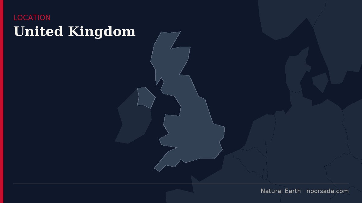
Yellow cold health alerts will come into force across three English regions from 9pm on Sunday 15 November, with the UK Health Security Agency warning of a "minor" impact on health and social care services as frosty conditions persist.
The alerts were issued by the UK Health Security Agency (UKHSA) for the North West, West Midlands and Yorkshire and The Humber, and will be in place until 9am on Thursday 19 November. The agency said the conditions could result in an increased use of healthcare services and a greater risk to life for vulnerable people.
Paul Coleman, consultant in public health at the UKHSA, said: "This is the latest cold health alert of the season." He said cold weather can have a serious impact on the health of people aged 65 and over and those with pre-existing health conditions, and urged people to check in on friends, family and neighbours who are most vulnerable. He added that people should try to heat the rooms they use most and dress warmly during colder spells.
Temperatures have already plunged to -6.4C in Cumbria and Brecon. After a bitterly cold Saturday, Sunday is expected to bring a brief respite with rain from the Atlantic before freezing Arctic air surges back across the UK.
The Met Office said the change could spark widespread snowfall when a band of wet weather moving north collides with the colder air. Forecast maps show snow stretching across northern Wales and England from midnight on Monday, before pushing north and east through the early hours of Tuesday.
Ethan Douglas, operational meteorologist at the Met Office, said there is "the potential for some disruptive ice" on Sunday night and Monday morning. He said the snow risk will be constrained to Scottish hills, bringing difficult driving conditions there, while the ice risk may be present more widely across the north of the UK, causing extended journey times and "potentially hazardous travelling conditions".
Passing showers are forecast to sweep through Wales and southern England, with some possibly thundery in the far southwest. Rain will be more persistent for northern England and southern Scotland, with strong winds arriving for north-east coasts in the second part of the day. Northern Scotland and Northern Ireland should see a brighter and colder day, with showers for some that could be wintry, bringing snow to the hills.
Cold conditions will continue on Monday with long sunny intervals for most, though approaching cloud will dim the sunshine later. North east Scotland should brace itself for further wintry showers.
Sources — how we know this
3 independent sources corroborated this
- PrimaryManchester Evening News
- CorroboratingThe Guardian — UK news
- CorroboratingThe Guardian — Society