General Directorate of Forestry announces annual fire count exceeded 3,000
Kenan Akduman said at a panel at the COP31 Türkiye Pavilion that the number of fires, which averaged 2,000 a year between 2005 and 2015, rose above 3,000 in the last 10 years.
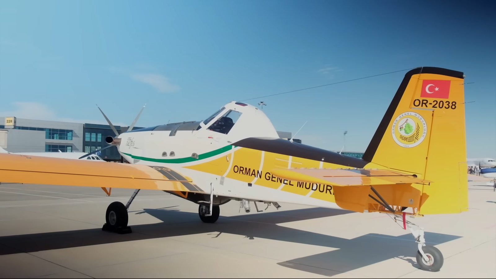
Kenan Akduman, Deputy Director General of the General Directorate of Forestry, announced that the annual number of forest fires in Türkiye has risen above 3,000 in the last 10 years, and that between 2005 and 2015 this figure averaged 2,000 per year. Akduman conveyed these data at the panel "From Prediction to Protection: Resilience Against Forest Fires with Artificial Intelligence", organized by Koç Holding as Global Partner in cooperation with the Ministry of Agriculture and Forestry's General Directorate of Forestry at the Türkiye Pavilion. The panel was moderated by Koç Holding Sustainability Coordinator Ebru Tüzecan; KoçDigital General Manager Evren Dereci, General Director of the Spain-based Pau Costa Association Jordi Vendrell, and Afra Balazina, Communications and Mobilization Director of Fundação SOS Mata Atlântica, also took the floor.
Dereci said that the artificial intelligence-supported forest fire risk prediction and response decision support system FireAId, developed by KoçDigital together with the General Directorate of Forestry, was born out of a concrete need after the major fires experienced in Türkiye in 2021. The system was first implemented as a pilot in five provinces in the Mediterranean and Aegean regions, and in 2023 it was made available across the country. Dereci stated that FireAId analyzes more than 400 variables. He explained that they are working on spread modeling with international partners including the University of California San Diego in order to predict how fires could spread in the first critical hours.
Akduman said that around 600 different technologies are used in fighting forest fires around the world, and that in the new system, alongside temperature, humidity and wind, parameters such as the age and density of tree cover, the topographic structure of the terrain, slope and aspect are also evaluated.
Tüzecan said, "A risk map alone does not prevent forest fires; we also need protection," and stressed that institutions must act together, people must trust the data, and countries must cooperate.
Balazina reported that in Brazil's Atlantic Forest stretching along the Atlantic coast, approximately 4 million hectares of land have been affected by fires in the last 7 years, and that half of this area consists of agricultural land and the other half of natural vegetation. Vendrell, for his part, said that no country can obtain the information it needs solely from the fires it experiences itself, and that artificial intelligence offers possibilities in organizing data, but operational experience in the field is essential for interpretation.
Sources — how we know this
- PrimaryEkonomim (Dünya)